Hanging Rock Battlefield Trail

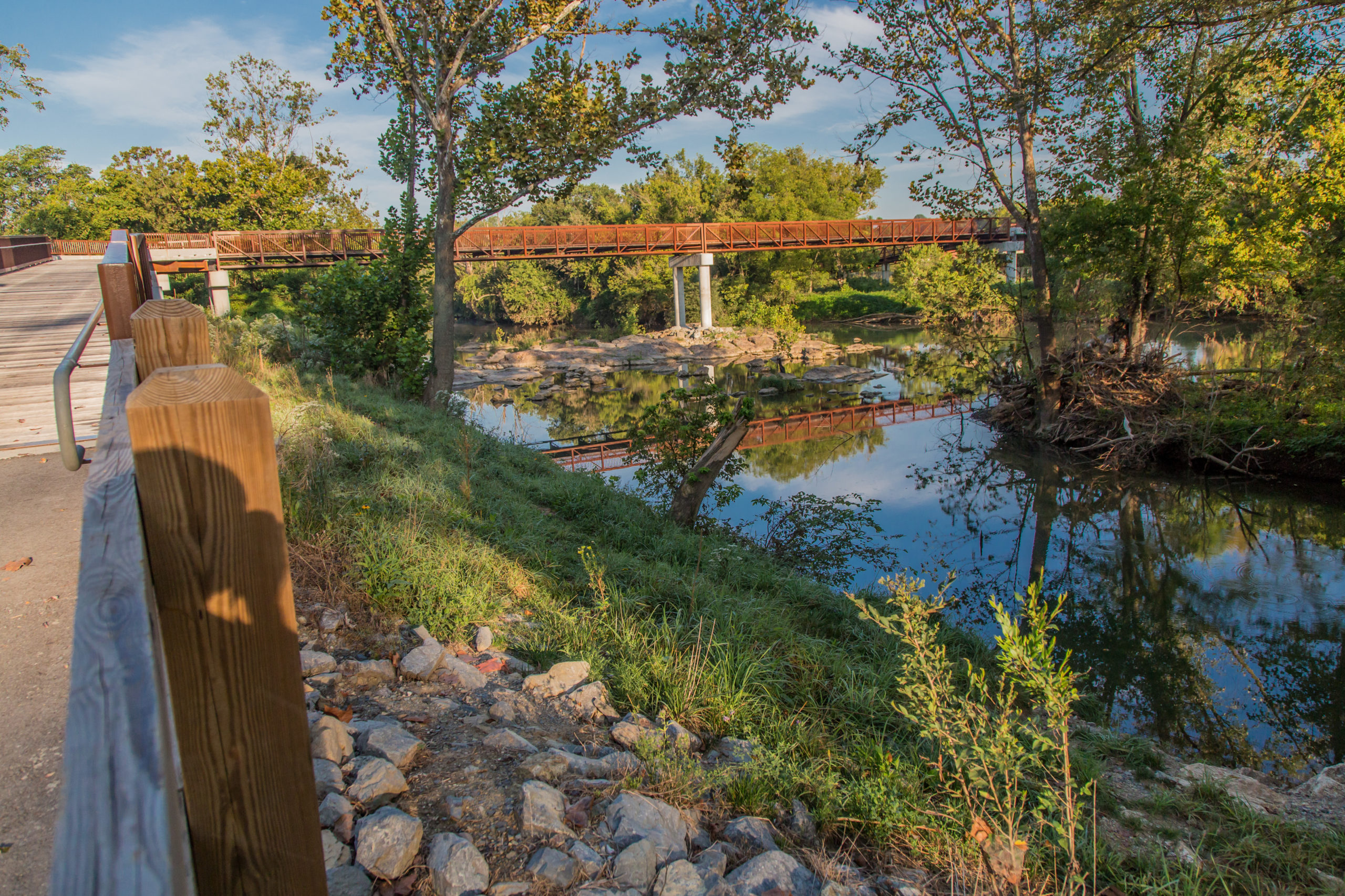
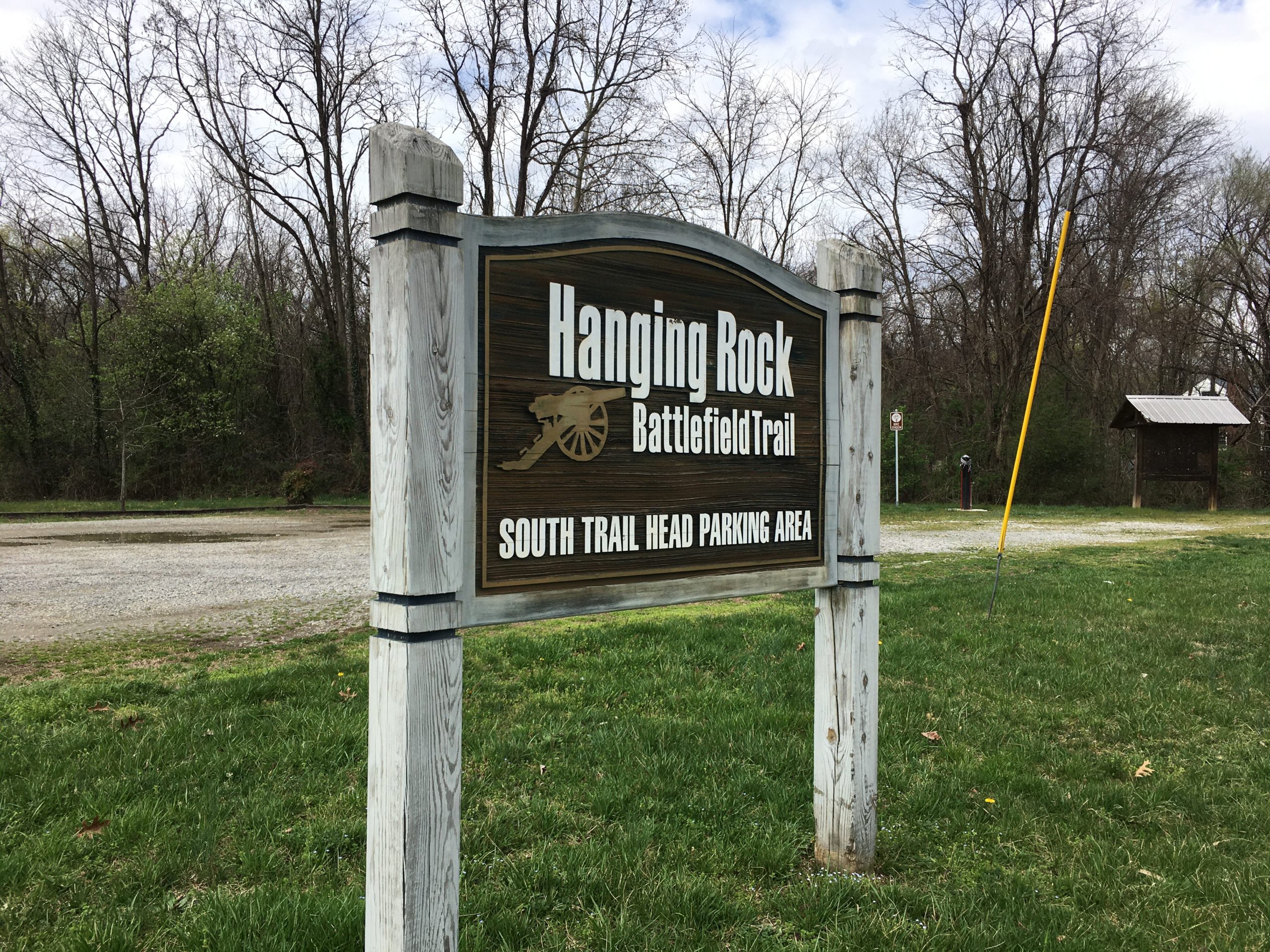
Hanging Rock Battlefield Trail is a 1.8 mile cinder surface path, the only rail-trail in the Roanoke Valley’s system. Donated by Norfolk and Southern, the trail follows Kessler Mill Road and Mason Creek. The trail has numerous historical markers commemorating the Civil War skirmish at Hanging Rock. It passes an old loading platform, where coal […]


Trail Details

Trail Distance:
1.8 mile
Amount of Use:
medium
Trail Difficulty:
easy
Surface Type:
Cinder, crushed aggregate

Mason Creek Greenway

Mason Creek Greenway is a one mile, paved section behind the GE plant in Salem. Parking is available on Roanoke Boulevard, and the greenway follows the creek to Salem Turnpike. Features include a fitness stop and open fields for soccer and other sports. Over 100 species of birds have been documented along this one mile […]

Trail Details

Trail Distance:
0.99 mile
Amount of Use:
light
Trail Difficulty:
easy
Surface Type:
Paved

Roanoke River Greenway

Roanoke River Greenway is the region’s signature project, the backbone of the greenway network following the river from west to east through the valley. Currently, the focus is on finishing the 25 miles from Green Hill Park in west Roanoke County, through the Cities of Salem and Roanoke, connecting to the Town of Vinton, and […]

Trail Details

Trail Distance:
14.2 mile
Amount of Use:
heavy
Trail Difficulty:
easy
Surface Type:
Paved
Trees

Roanoke Valley Greenways Trail Finder

horseshoe mtnbike bike hiking shoes paw-print roller-skate disability

How will you hit the trail?

Find new trails for your favorite motivation method

Or visit the full trail list here