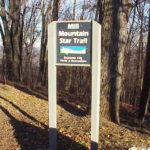
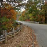
Blue Ridge Parkway Trails
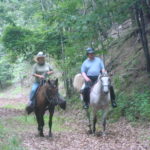
The Blue Ridge Parkway has paralleling trails in the Roanoke region for hiking and horseback riding. These trails are managed by the National Park Service and are not open to bicycles. There are four distinct sections: Horse Trail, a 11-mile trail for equestrians and hikers, from Stewarts Knob Overlook MP 110.6 to MP 121.4 at […]
Trail Details
Trail Distance:
17 mile
Amount of Use:
light
Trail Difficulty:
easy
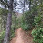
Surface Type:
Natural