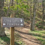
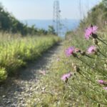
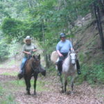
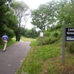
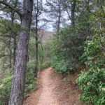
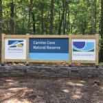
Carvins Cove Natural Reserve Trails

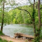
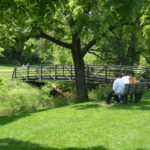
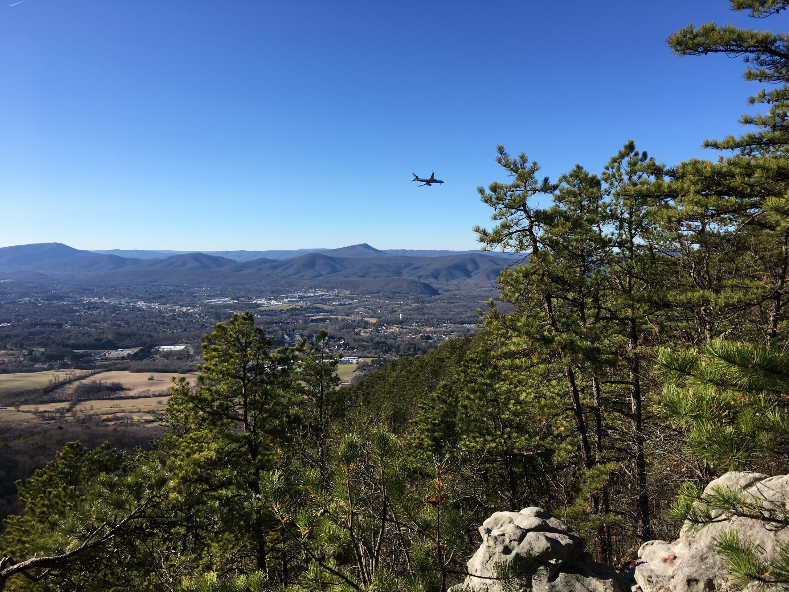
Carvins Cove is a 12,000 acre watershed, protecting a 630-acre reservoir, used for the region’s drinking water. The Western Virginia Water Authority manages the reservoir and boat landing access; Roanoke Parks and Recreation manages the 12,000 acres and 60 miles of trails. The trails are managed for hiking, mountain biking and horseback riding, with some […]

Trail Details

Trail Distance:
60 mile
Amount of Use:
medium
Trail Difficulty:
varied
Surface Type:
Natural

Catawba Greenway

As of September 2021, the two legs of the Catawba Greenway are a 2.9 mile trail, connecting the Appalachian Trail to the Catawba community. when combined with the Appalachian Trail, the Catawba greenway makes for about a five mile loop, or about a 10 mile option to hike out to McAfee Knob. The Catawba Greenway […]

Trail Details

Trail Distance:
2.9 mile
Amount of Use:
light
Trail Difficulty:
medium
Surface Type:
Mostly natural, with some gravel road sections

Explore Park Trails

Explore Park is 1,100 acres managed by Roanoke County as an adventure park. Adjacent to Roanoke River and the Blue Ridge Parkway, the park offers paddling and tubing, a Treetop Ropes Course, camping in cabins or tents, fishing, hiking, and mountain biking. The trails provide opportunity to hike and mountain bike in the cool woods […]

Trail Details

Trail Distance:
14 mile
Amount of Use:
medium
Trail Difficulty:
medium
Surface Type:
Natural and gravel
Garst Mill Greenway

Garst Mill Greenway

Garst Mill Greenway, a half mile, paved section of Mudlick Creek Greenway, is located in Roanoke County’s Garst Mill Park. This neighborhood park has many facilities for families, such as playgrounds, picnic shelter, tennis courts, and ball fields. The greenway begins with a bridge and parallels the creek through the park. Frequent users include children […]

Trail Details

Trail Distance:
0.5 mile
Amount of Use:
heavy
Trail Difficulty:
easy
Surface Type:
Paved

Glade Creek Greenway

Glade Creek Greenway is currently a 0.6-mile paved path, parallel to Glade Creek in the Town of Vinton. The greenway links Tinker Creek Greenway at Virginia Avenue to bicycle and pedestrian facilities on Walnut Avenue and will soon reach to Gus Nicks Boulevard. The first phase of the greenway to Walnut opened in 2017 and […]

Trail Details

Trail Distance:
0.6 mile
Amount of Use:
light
Trail Difficulty:
easy
Surface Type:
Paved

Gladetown Trail

Gladetown Trail is a 0.7-mile natural surface path behind the Craig Center in the Town of Vinton. This trail is in the woods, circling a stormwater management pond. Many wildlife species frequent this area, providing opportunities to spot birds and mammals unusual in the urban area. 

Trail Details

Trail Distance:
.7 mile
Amount of Use:
light
Trail Difficulty:
easy
Surface Type:
Natural

Green Hill Park Trails

Green Hill Park is 224 acres on the Roanoke River with ballfields, a paved section of Roanoke River Greenway, a river access spot, a handicapped fishing pier, picnic shelters, a playground, and an equestrian center. Hidden away on the hillside are the Green Hill Park trails. These natural surface trails provide the opportunity to hike […]

Trail Details

Trail Distance:
1.9 mile
Amount of Use:
medium
Trail Difficulty:
medium
Surface Type:
Natural

Greenfield Trails

Botetourt Center at Greenfield is a 600-acre business park with numerous trails for public use and a disc golf course. Cherry Blossom Trail is cinder surfaced; others are grass and open to cross country runners and equestrians. The large pond provides habitat diversity that attracts many species of birds.

Trail Details

Trail Distance:
7 mile
Amount of Use:
medium
Trail Difficulty:
easy
Surface Type:
Cinder and grass

Hanging Rock Battlefield Trail

Hanging Rock Battlefield Trail is a 1.8 mile cinder surface path, the only rail-trail in the Roanoke Valley’s system. Donated by Norfolk and Southern, the trail follows Kessler Mill Road and Mason Creek. The trail has numerous historical markers commemorating the Civil War skirmish at Hanging Rock. It passes an old loading platform, where coal […]

Trail Details

Trail Distance:
1.8 mile
Amount of Use:
medium
Trail Difficulty:
easy
Surface Type:
Cinder, crushed aggregate

Havens Wildlife Management Area Trails

Havens Wildlife Management Area is a 7,190 acre preserve managed by the Virginia Department of Wildlife Resources. This is very steep, rugged terrain that has two fire roads and several very steep trails. The land is managed for hunting, but is open also for hiking and horseback riding. Public parking is available from two parking […]

Trail Details

Trail Distance:
20.3 mile
Amount of Use:
light
Trail Difficulty:
hard
Surface Type:
Natural

Hinchee Trail

Hinchee Trail is a 2.1 mile trail, connecting Hanging Rock Battlefield Trail to Brushy Mountain Trail at Carvins Cove. The trail starts at the parking lot on Dutch Oven Road, ascends a short section of paved, private driveway (no parking allowed), and then connects to a natural surface woods road. The trail and 235-acre park […]

Trail Details

Trail Distance:
2.1 mile
Amount of Use:
medium
Trail Difficulty:
medium
Surface Type:
Natural surface

Lick Run Greenway

Lick Run Greenway is a paved trail with a 4.1 mile section from downtown to Valley View mall and a 0.5 mile section at Countryside Park. The greenway provides an excellent commuter route between the city’s biggest commercial areas and offers a lovely respite for a nature walk or run. Connections along the way include […]

Trail Details

Trail Distance:
4.6 mile
Amount of Use:
light
Trail Difficulty:
easy
Surface Type:
Paved

Mason Creek Greenway

Mason Creek Greenway is a one mile, paved section behind the GE plant in Salem. Parking is available on Roanoke Boulevard, and the greenway follows the creek to Salem Turnpike. Features include a fitness stop and open fields for soccer and other sports. Over 100 species of birds have been documented along this one mile […]

Trail Details

Trail Distance:
0.99 mile
Amount of Use:
light
Trail Difficulty:
easy
Surface Type:
Paved

Mill Mountain Greenway

Mill Mountain Greenway is a 3.3 mile paved route connecting downtown to the Mill Mountain Star. The greenway officially begins at the Wells Fargo Tower, tying into Lick Run Greenway and providing continuous greenway connectivity across the valley. The route weaves through the market area using existing sidewalks and streets, then follows an off-road sidewalk […]

Trail Details

Trail Distance:
3.28 mile
Amount of Use:
light
Trail Difficulty:
medium
Surface Type:
Paved

Mill Mountain Trails

The Mill Mountain trail network provides 10 miles of natural surface trails for hiking, mountain biking, and horseback riding within the 600-acre Mill Mountain Park. Trails are accessible from the Discovery Center and Mill Mountain Star on top of the mountain, from a parking lot on Riverland Road, and from several neighborhood streets. Fern Park […]

Trail Details

Trail Distance:
10 mile
Amount of Use:
medium
Trail Difficulty:
varied
Surface Type:
Natural surface

Murray Run Greenway

Murray Run Greenway is a 1.9 mile neighborhood trail, connecting five schools and three parks. The greenway was adopted in 1998 by the Greater Raleigh Court Civic League, which assisted Pathfinders for Greenways and the City with planning and construction of various sections. Starting from Shrine Hill Park on Grandin Road, the greenway winds behind […]

Trail Details

Trail Distance:
1.9 mile
Amount of Use:
medium
Trail Difficulty:
easy
Surface Type:
Cinder, natural

Poor Mountain Preserve Trails

Poor Mountain Preserve is a 933-acre site managed by the Virginia Natural Heritage Division to protect the globally rare piratebush. This shrub has brilliant yellow leaves in fall and a green fruit that is a drupe. The Preserve has 3.4 miles of natural surface trails, with overlooks and benches, but the parking lot is quite […]

Trail Details

Trail Distance:
3.4 mile
Amount of Use:
light
Trail Difficulty:
hard
Surface Type:
Natural

Read Mountain Trails

Read Mountain Preserve is a 243-acre park with 4.5 miles of natural surface trails. This “mountain island” is visible from most parts of the Roanoke Valley as a long undeveloped ridge. The trails ascend challenging terrain in dry woodlands. Parking, a picnic shelter and an overlook are provided from Crumpacker Drive. The park lands, protected […]

Trail Details

Trail Distance:
5 mile
Amount of Use:
medium
Trail Difficulty:
hard
Surface Type:
Natural surface

Roanoke River Greenway

Roanoke River Greenway is the region’s signature project, the backbone of the greenway network following the river from west to east through the valley. Currently, the focus is on finishing the 25 miles from Green Hill Park in west Roanoke County, through the Cities of Salem and Roanoke, connecting to the Town of Vinton, and […]

Trail Details

Trail Distance:
14.2 mile
Amount of Use:
heavy
Trail Difficulty:
easy
Surface Type:
Paved

Tinker Creek Greenway

Tinker Creek is a major tributary of Roanoke River, over twelve miles long, and a greenway along this corridor has always been included in greenway plans. The headwaters begin in Botetourt County, and the corridor is rich in natural and cultural resources, including many historic structures such as old mills and houses like Monterey, Bellmont, […]

Trail Details

Trail Distance:
1.38 mile
Amount of Use:
light
Trail Difficulty:
easy
Surface Type:
Paved

Wolf Creek Greenway

Wolf Creek Greenway is a 2.2 mile, cinder surface trail running from Hardy Road to Mountain View Road in eastern Roanoke County and the Town of Vinton. Parking for the greenway is located behind 1390 Hardy Road and at the parks. The first section in Vinton is on lands that also provide well water for […]

Trail Details

Trail Distance:
2.2 mile
Amount of Use:
medium
Trail Difficulty:
easy
Surface Type:
Cinder, crushed aggregate
Trees

Roanoke Valley Greenways Trail Finder

horseshoe mtnbike bike hiking shoes paw-print roller-skate disability

How will you hit the trail?

Find new trails for your favorite motivation method

Or visit the full trail list here